(Powerpoint presentation entitled “Slavetrade, afst” Slides 1-5 will accompany this day’s lesson.)
•To begin this day’s lesson, the teacher will lead students through a conversation that will be ask then to reflect on the concept of ‘slavery’ as an economic system. Building on this, the teacher and students will construct an argument for why slavery became a preferred labor source of Europeans and American colonists to fuel economic growth in the Americas.
•Following this, the teacher will ask the following questions: Was the economic system of slavery an invention of the West? This question will launch a brief overview of the history of slavery as an institution in Africa prior to European contact. Using images of hieroglyphics and tomb drawings, the class will briefly revisit the early civilizations of Nubia and Egypt, both of which practiced slavery throughout their reign. (See images: Egyptian hieroglyphics and Kerma gravesite) We’ll also revisit the story of Queen Nzinga of Angola.
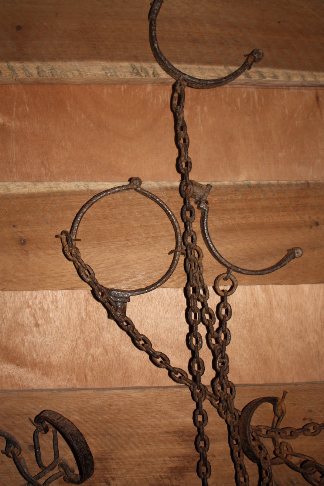
•Students will be led through an examination of how slavery was practiced in other parts of Africa prior to European contact.
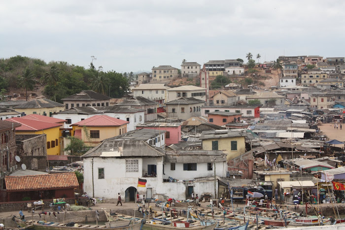
•To segue into a discussion of the Trans-Atlantic Slave Trade, students will view a map illustrating the flow of African slaves out of Africa to the Americas and the numbers (See Link Titled "Slave Voyages"). Further, the teacher will lead them through an examination of a statistical table compiled by Paul E. Lovejoy in his book, Transformations in Slavery. This table illustrates the vast number of Africans who were captured, sold and ultimately transported to the Americas. Ask students to reflect on the numbers and to think about how this population loss might impact the African continent as a whole in terms of political, social and economic development as well as African identity.
Homework: For tonight, students will be assigned the task of examining several maps produced by the Trans-Atlantic Slave Database. They will be asked to visit Maps # 5-9 (See Link Titled Maps). From this, students are encouraged to formulate a working thesis for each of the maps in an effort to convey the significance/relevance of the data. (i.e. What does each map essentially tell us? Can a specific argument about slavery be developed from these maps? If so, what?)